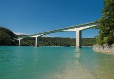
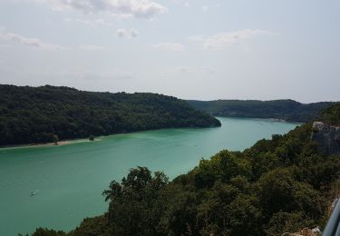
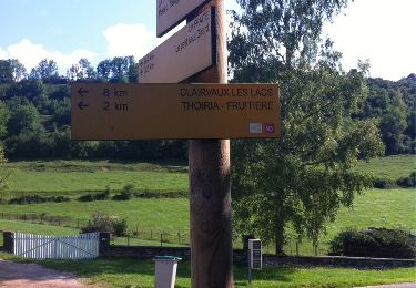
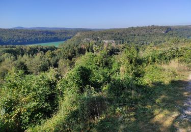
Trail Car La Tour-du-Meix - Jura Classic Tour - Tronçon 4 - Photo

Jura Classic Tour - Tronçon 4

© OpenStreetMap contributors
Length
Length
21 km
Max alt
Max alt
595 m
Uphill gradient
Uphill gradient
379 m
Km-Effort
Km-Effort  
26 km
Min alt
Min alt
428 m
Downhill gradient
Downhill gradient
274 m
Boucle
Boucle
No
Creation date :
2021-06-04 16:38:39.148
Updated on :
2021-06-09 16:16:39.606

(0 Reviews)

Car
Car
--
Difficulty : Easy

Scan this QR Code to open this trail in the SityTrail application

FREE GPS app for hiking

Logo SityTrail SityTrail

IGN / Geographical institutes

Download SityTrail from the App Store Download SityTrail from Google Play

Logo SityTrail SityTrail World

The world is yours!

Download SityTrail from the App Store Download SityTrail from Google Play Download SityTrail on Huawei AppGallery

About

Trail Car of 21 km to be discovered at Bourgogne-Franche-Comté, Jura, La Tour-du-Meix. This trail is proposed by JuraClassicTour.

Description

- Sortir de l’aire de pique-nique
- Prendre à gauche sur Dessus Arcey/D470 et Continuer de suivre D470 pendant 4,4 km.
- Prendre la sortie D83 en direction de Clairvaux-les-Lacs/Meussia et rouler 140 m.
- Continuer sur D83 pendant 650 m.
- Prendre à gauche sur D27 et rouler 9,7 km.
- Au rond-point, prendre la 1re sortie sur Rue de la Gare/D678 et continuer de suivre D678 sur 270 m.
- Continuer de suivre D118 sur 400 m.
- Prendre à gauche sur Rue des Sapins/D28 et Continuer de suivre D28 pendant 1,9 km.
- Continuer tout droit sur D144 et rouler pendant 3,6 km.
  ATTENTION !!! La route est petite et sinueuse !!!
- Passer sur le pont de la Rivière/D144 et prendre à gauche sur Jard Mercier/D144, rouler 240 m.
- Prendre à gauche au bout de la route et votre destination se trouvera devant vous, vous pouvez vous garer sur le parking de droite.

Elevation profile

Photos

Positioning

Country:
France
Region :
Bourgogne-Franche-Comté
Department/Province :
Jura
Municipality :
La Tour-du-Meix
Location:
Unknown
Start:(UTM)
704875 ; 5155406 (31T) N.

Trails nearby

Trail Mountain bike La Tour-du-Meix - Lac de Vouglans nord - La Tour-du-Meix - Photo
Mountain bike
tracegps

Mountain bike

Difficult
(3)
La Tour-du-Meix, Bourgogne-Franche-Comté, Jura, France
36 km | 46 km-effort
3h 0min
Yes
Trail Walking La Tour-du-Meix - Vouglans depuis St Christophe - Photo
Walking
GUIDE
David25400

Walking

Easy
(1)
La Tour-du-Meix, Bourgogne-Franche-Comté, Jura, France
8.3 km | 10.8 km-effort
28h 50min
Yes
Trail Walking Thoiria - Thoiria : grotte et cascades - Photo
Walking
j.pont

Walking

Medium
(1)
Thoiria, Bourgogne-Franche-Comté, Jura, France
7.1 km | 9.6 km-effort
3h 26min
Yes
Trail Walking La Tour-du-Meix - St Christophe  - Photo
Walking
GUIDE
David25400

Walking

Very easy
La Tour-du-Meix, Bourgogne-Franche-Comté, Jura, France
8.6 km | 11.3 km-effort
3h 25min
Yes
Trail Mountain bike La Tour-du-Meix - Jura -  La tour du Meix VTT - Photo
Mountain bike
Atchoum26

Mountain bike

Medium
La Tour-du-Meix, Bourgogne-Franche-Comté, Jura, France
17.8 km | 24 km-effort
2h 28min
Yes
Trail On foot Dompierre-sur-Mont - Sentier Nature - Photo
On foot
GUIDE+

On foot

Easy
Dompierre-sur-Mont, Bourgogne-Franche-Comté, Jura, France
3.7 km | 4.4 km-effort
59min
Yes
Trail Walking Barésia-sur-l'Ain - Soucia - Photo
Walking
ROPPJP

Walking

Medium
Barésia-sur-l'Ain, Bourgogne-Franche-Comté, Jura, France
8.4 km | 10.9 km-effort
2h 20min
Yes
Trail Walking Écrille - haute vallée de la valouse - Photo
Walking
Bobzebob

Walking

Medium
Écrille, Bourgogne-Franche-Comté, Jura, France
14.8 km | 19.6 km-effort
3h 10min
Yes
Trail Walking La Tour-du-Meix - Le pont de la pyle - Photo
Walking
colomb24

Walking

Very difficult
La Tour-du-Meix, Bourgogne-Franche-Comté, Jura, France
17.5 km | 23 km-effort
11h 37min
Yes


Close
My subscriptions